FECORE stumbles again. Their amateur non-scientist trilobites get WGS84 deadly wrong
Dear Readers,
If the WGS84 earth ellipsoidal data is wrong because the Earth is flat as they claim, then commercial airline flights all over the world would be - off course, not finding their intended airports to land on, and in cases when using auto-landing a crash would occur.
Note: Automatic landings probably account for less than 3% of all landings on commercial flights
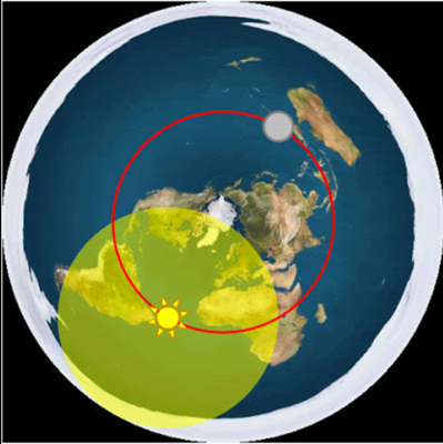
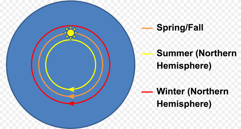
Here is the FECORE bogus claim (with our red comment added):

On Jul 16, 2018 we submitted our PEER REVIEW of that experiment to them, but they have never responded back to us.
Read here:
FECORE 2018 - Lake Balaton and Lake Ijssel laser test - PEER REVIEW
https://flatearthlunacy.com/index.php/2-uncategorised/932-fecore-2018-lake-balaton-and-lake-ijssel-laser-test-pier-review
-
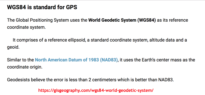
What is the World Geodetic System?
https://gisgeography.com/wgs84-world-geodetic-system/

-
From the article "Landing Airplanes with GPS?," by Tony Murfin

Landing airplanes with GPS is not a new concept. People were demonstrating the feasibility back in the early 1990s. But landing transport airplanes in commercial airline service is something that’s only just getting to be a regular occurrence.
LAAS (also known as Ground-Based Augmentation System — GBAS) is a ground-based landing system which uses GPS to guide aircraft to a runway — there is a local ground installation with several antennas around the airfield, and a VHF radio uplink to approaching aircraft. It all works if the aircraft is also equipped with a VHF receiving radio and a LAAS-configured airborne GPS receiver. There’s also likely a Flight Management System (FMS) on the aircraft that enables navigation within today’s complex air-traffic-control systems. The LAAS system on the ground works high-integrity and provides precision GPS corrections to the aircraft GPS.
WAAS (also known as Satellite-Based Augmentation System — SBAS) also has parts which are ground based, in that there are a number of widely separated ground stations (hundreds of miles apart, across the whole country), each installed with a number of GPS receivers which, together with a ground data analysis system, assess the performance of the GPS constellation. A WAAS correction signal is then sent up to geostationary satellites which re-broadcast the correction signal to aircraft equipped with WAAS-configured GPS receivers flying within the geo signal footprint. The airborne receiver gets higher accuracy combined signals and an integrity message which regulates en-route and approach navigation.
That article is here - http://gpsworld.com/professional-oemlanding-airplanes-with-gps-11540/
Published on – September 6, 2018
Discussion at - https://www.youtube.com/channel/UC7ipUKERU0tzYFxALJBli4A/discussion
Our home page all articles - http://flatearthlunacy.com
kind regards, JonahTheScientist


