


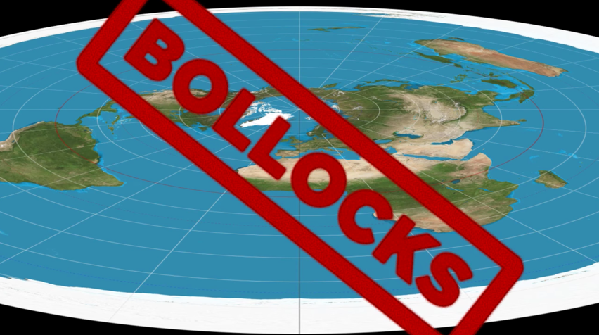

GeoShifter (Randy Robichaud - Circumnavigating the flat earth by air
Dear GeoShifter,
Fact check = You FAIL
Contrary to your claim, here is a short list of devices that have been circumnavigating the Earth, from Pole to Pole, since the 1960's.
They have the pictures you want. These circumpolar satellites, none affiliated with NASA, all verify that the Earth is a round globe.
Do you suggest that the countries that launched these satellites are ALL LIARS - Japan, China, Brazil, Argentina, CNES, ESA, India, Indonesia, Republic of Belarus, Pakistan, Russia, Sweden, Venezuela, South Korea, Thailand and Turkey?
Japan Meteorological Agency
MTSAT-2 / Himawari-7 (Geostationary, 140 East as backup)
Himawari-8 (2014)
China National Space Administration (CNSA)
Gaofen 1
Brazilian Space Agency (AEB)
CBERS-1
CBERS-2
CBERS-2B
CBERS-3
CBERS-4
Amazonia-1
SABIA-Mar
GEOMET-1
Argentina Space Agency (CONAE)
SAC-A
SAC-B
SAC-C
SAC-D
SAOCOM
SABIA-Mar
Centre National d'…tudes Spatiales (CNES)
SPOT
Pleiades
TOPEX/Poseidon
Indian Space Research Organisation (ISRO)
Megha-Tropiques October 2011
Oceansat-2 23 September 2009
IMS-1 28 April 2008
Cartosat-2A 28 April 2008
CARTOSAT-2 10 January 2007
IRS P5 (CARTOSAT-1) 5 May 2005
IRS P6 (Resourcesat 1) 17 October 2003
IRS-P4 27 May 1999[citation needed]
IRS-P3 21 March 1996
IRS-P2 15 October 1994
IRS-1D 29 September 1997
IRS-1C 28 December 1995
IRS-1B 29 August 1991
IRS-1A 17 March 1988 Envisat
ERS (1 & 2)
CryoSat-2
Sentinel 1
Lembaga Penerbangan dan Antariksa Nasional (LAPAN INDONESIA)
Lapan-TUBsat
National Academy of Sciences of Republic of Belarus
BelKA
Pakistan's SUPARCO (Space and Upper Atmosphere Research Commission)
Badr-B - December 2001.
Pakistan Remote Sensing Satellite 2014
Russian Federal Space Agency (Roscosmos)
ElektroñL
Resurs-DK1
Resurs-P No.1
Resurs-P No.2
Kanopus-V
Meteor-M No.1
Meteor-M No.2
Swedish National Space Board
Munin
Venezuelan Agency for Space Activities
VRSS-1
South Korea
Arirang-1
Arirang-2
Arirang-3
Arirang-5
Chollian
THAILAND
Thaichote
Turkey
Gokturk-2 (2012) (IMINT), Turkish Armed Forces- Intelligence
RASAT (2011), Mapping
BILSAT-1 (2003-2006), was part of Disaster Monitoring Constellation Project
Gˆkt¸rk-1 (2013) (IMINT), Turkish Ministry of National Defence- Intelligence
Gˆkt¸rk-3- (IMINT), High Resolution Synthetic aperture radar (SAR) Earth observation satellite- Turkish Ministry of National Defence- Intelligence
Posts at - https://plus.google.com/112395025400327394667/posts
Discussion at - https://www.youtube.com/channel/UC7ipUKERU0tzYFxALJBli4A/discussion
Video at..
(https://www.youtube.com/watch?v=5_xTjqRl_tk)
kind regards, JonahTheScientist